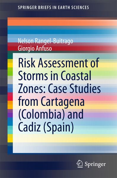
Risk Assessment of Storms in Coastal Zones: Case Studies from Cartagena (Colombia) and Cadiz (Spain) (eBook, PDF)
Versandkostenfrei!
Sofort per Download lieferbar
40,95 €
inkl. MwSt.
Weitere Ausgaben:

PAYBACK Punkte
20 °P sammeln!
This book assists the reader in determining storm risks, focussing on sandy coasts and cliff coasts in the context of expected sea level rise from littoral transformation and climate change. It examines storm impacts through matrixes concerning physical parameters, socio-economic activities, ecological and historic resources, and it presents the Coastline Risk to Storms Index as a single numerical measure of the risk for a given area.The methodology is described and tested against two coastal areas: one in the Caribbean Sea (Cartagena, Colombia) and the other on the coast of the Atlantic Ocean...
This book assists the reader in determining storm risks, focussing on sandy coasts and cliff coasts in the context of expected sea level rise from littoral transformation and climate change. It examines storm impacts through matrixes concerning physical parameters, socio-economic activities, ecological and historic resources, and it presents the Coastline Risk to Storms Index as a single numerical measure of the risk for a given area.
The methodology is described and tested against two coastal areas: one in the Caribbean Sea (Cartagena, Colombia) and the other on the coast of the Atlantic Ocean (Cadiz, Spain). Both areas record an important flow of tourists associated with the "sun, sea and sand market" which represents an economic recourse for the hinterland too.
Chapters describe this approach and explore three particular types of variables: i) the forcing variables contributing to storm-induced erosion, ii) dynamic variables that determine the resilience to erosion (Susceptibility) and iii) the vulnerable targets grouped in three different contexts (socio-economic, ecological and heritage). These are combined into two separate indices, the Hazard Index (combining forcing and susceptibility) and the Vulnerability Index, which together constitute the Coastline Risk to Storms Index.
Maps created using this semi-quantitative approximation method can help to determine the causes, processes and consequences of storm-related processes. This book is therefore important to anyone considering coastal development programs, especially decision-makers: the work presented here can assist in the development of preventative management strategies for the most vulnerable areas.
Dieser Download kann aus rechtlichen Gründen nur mit Rechnungsadresse in A, B, BG, CY, CZ, D, DK, EW, E, FIN, F, GR, HR, H, IRL, I, LT, L, LR, M, NL, PL, P, R, S, SLO, SK ausgeliefert werden.


