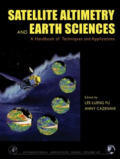
Satellite altimetry is helping to advance studies of ocean circulation, tides, sea level, surface waves and allowing new insights into marine geodesy.
Satellite Altimetry and Earth Sciences provides high resolution bathymetry for previously unmapped regions of our watery planet.
Satellite Altimetry and Earth Sciences is for a very broad spectrum of academics, graduate students, and researchers in geophysics, oceanography, and the space and earth sciences. International agencies that fund satellite-based research will also appreciate the handy reference on the applications of satellite altimetry.
Dieser Download kann aus rechtlichen Gründen nur mit Rechnungsadresse in A, B, BG, CY, CZ, D, DK, EW, E, FIN, F, GR, HR, H, IRL, I, LT, L, LR, M, NL, PL, P, R, S, SLO, SK ausgeliefert werden.


