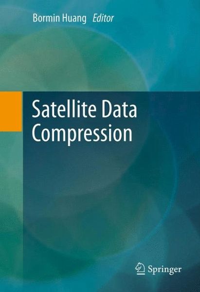
Satellite Data Compression (eBook, PDF)
Versandkostenfrei!
Sofort per Download lieferbar
40,95 €
inkl. MwSt.
Weitere Ausgaben:

PAYBACK Punkte
20 °P sammeln!
Satellite Data Compression covers recent progress in compression techniques for multispectral, hyperspectral and ultra spectral data. A survey of recent advances in the fields of satellite communications, remote sensing and geographical information systems is included. Satellite Data Compression, contributed by leaders in this field, is the first book available on satellite data compression. It covers onboard compression methodology and hardware developments in several space agencies. Case studies are presented on recent advances in satellite data compression techniques via various prediction-...
Satellite Data Compression covers recent progress in compression techniques for multispectral, hyperspectral and ultra spectral data. A survey of recent advances in the fields of satellite communications, remote sensing and geographical information systems is included. Satellite Data Compression, contributed by leaders in this field, is the first book available on satellite data compression. It covers onboard compression methodology and hardware developments in several space agencies. Case studies are presented on recent advances in satellite data compression techniques via various prediction-based, lookup-table-based, transform-based, clustering-based, and projection-based approaches. This book provides valuable information on state-of-the-art satellite data compression technologies for professionals and students who are interested in this topic. Satellite Data Compression is designed for a professional audience comprised of computer scientists working in satellite communications, sensor system design, remote sensing, data receiving, airborne imaging and geographical information systems (GIS). Advanced-level students and academic researchers will also benefit from this book.
Dieser Download kann aus rechtlichen Gründen nur mit Rechnungsadresse in A, B, BG, CY, CZ, D, DK, EW, E, FIN, F, GR, HR, H, IRL, I, LT, L, LR, M, NL, PL, P, R, S, SLO, SK ausgeliefert werden.


