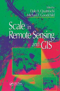
With a balanced mixture of concepts, practical examples, techniques, and theory, Scale in Remote Sensing and GIS is a guide for students and users of remote sensing and GIS who must deal with the issues raised by multiple temporal and spatial scales.
Dieser Download kann aus rechtlichen Gründen nur mit Rechnungsadresse in A, B, BG, CY, CZ, D, DK, EW, E, FIN, F, GR, HR, H, IRL, I, LT, L, LR, M, NL, PL, P, R, S, SLO, SK ausgeliefert werden.

