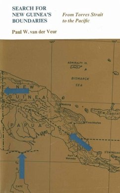
The paucity of published material on the borders of New Guinea and the international significance of the Irian boundary led me to bring together the information I had gathered over the past few years. Ideally, a book of this kind should cover the subject in its total historical and geographical context. The aim of this work is more modest: it intends merely to throw some light on the birth and development of New Guinea's boundaries. With this purpose in mind, after an introductory chapter attention is given to the historical events leading up to the parti tion of New Guinea among three European powers. In subsequent chapters the development of the boundaries between the various parts of the island is discussed. It is realized that this approach may tend to convey the impression that each particular border is in some way unique. This, however, is not intended and it is hoped that the reader will recognize some of the common underlying themes and problems which are given attention in the introductory and concluding chapters. It was intended originally to present in a brief appendix those docu ments which define the borders. It soon appeared desirable to include also the unpublished records of more recent border conferences and relevant correspondence leading up to the actual treaties, exchange of notes, Orders in Council, or (as the case might be) lack of action.
Dieser Download kann aus rechtlichen Gründen nur mit Rechnungsadresse in A, B, BG, CY, CZ, D, DK, EW, E, FIN, F, GR, HR, H, IRL, I, LT, L, LR, M, NL, PL, P, R, S, SLO, SK ausgeliefert werden.


