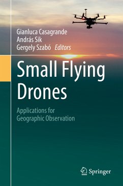
This book focuses on small flying drones and their applications in conducting geographic surveys. Scholars and professionals will discover the potential of this tool, and hopefully develop a conceptual and methodological framework for doing the following things: a) Translate their data acquisition needs into specifications. (b) Use the developed specifications to choose the best accessible configuration for their drones, and (c) Design and organize effective and low-cost field deployment and flight operations by integrating technical aspects with regulatory and research requirements.
Readers can apply this knowledge to work in cartography, environmental monitoring and analysis, land-use studies and landscape archaeology. Particular attention is also given to the reasons why a drone can dramatically boost a geographer's capability to understand geographic phenomena both from hard-science and humanities approach.
Dieser Download kann aus rechtlichen Gründen nur mit Rechnungsadresse in A, B, BG, CY, CZ, D, DK, EW, E, FIN, F, GR, HR, H, IRL, I, LT, L, LR, M, NL, PL, P, R, S, SLO, SK ausgeliefert werden.

