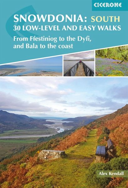
Snowdonia: 30 Low-level and Easy Walks - South (eBook, ePUB)
From Ffestiniog to the Dyfi, and Bala to the coast

PAYBACK Punkte
4 °P sammeln!
A guidebook to 30 low-level and easy day walks in the southern part of Eryri (Snowdonia) National Park in Wales. All circular except for Walk 10, which makes use of bus links, the routes vary in length and terrain ensuring that there is something for walkers of all levels of fitness and experience.The walks range from 319km (212 miles) in length and can be enjoyed in 16 hours. They are arranged geographically into 4 areas: the Rhinogydd, Mawddach Estuary, Bala to Dolgellau, and Cadair Idris to the Dyfi. 1:25,000 or 1:50,000 OS maps for each walk Details given of terrain, facilities and access...
A guidebook to 30 low-level and easy day walks in the southern part of Eryri (Snowdonia) National Park in Wales. All circular except for Walk 10, which makes use of bus links, the routes vary in length and terrain ensuring that there is something for walkers of all levels of fitness and experience.
The walks range from 319km (212 miles) in length and can be enjoyed in 16 hours. They are arranged geographically into 4 areas: the Rhinogydd, Mawddach Estuary, Bala to Dolgellau, and Cadair Idris to the Dyfi.
The walks range from 319km (212 miles) in length and can be enjoyed in 16 hours. They are arranged geographically into 4 areas: the Rhinogydd, Mawddach Estuary, Bala to Dolgellau, and Cadair Idris to the Dyfi.
- 1:25,000 or 1:50,000 OS maps for each walk
- Details given of terrain, facilities and access for each walk
- Information given on local history, geology and wildlife
- GPX files available to download
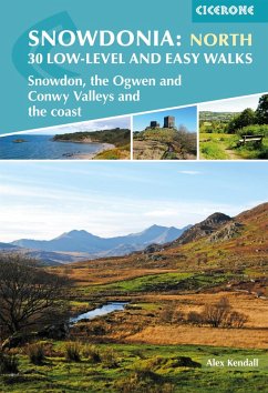
- Part of a 2-volume set, an accompanying Cicerone guidebook Snowdonia: Low-level and Easy Walks North is also available
Dieser Download kann aus rechtlichen Gründen nur mit Rechnungsadresse in A, D ausgeliefert werden.


