Spatial Analysis for Radar Remote Sensing of Tropical Forests (eBook, ePUB)
Versandkostenfrei!
Sofort per Download lieferbar
51,95 €
inkl. MwSt.
Weitere Ausgaben:

PAYBACK Punkte
26 °P sammeln!
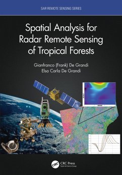
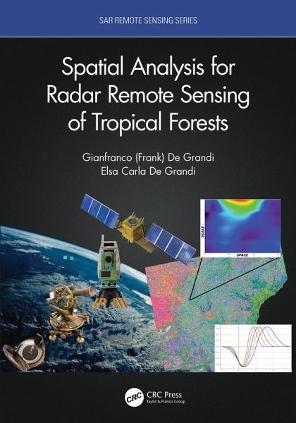
This book is based on the authors' extensive involvement in Synthetic Aperture Radar (SAR) mapping projects, targeting the health of an earth ecosystem with great relevance for climate change studies: the tropical forests. The subject is developed from a vantage point provided by analysis in a combined space, scale (frequency), time, wavelength, polarization domain. The combination of space and scale offers the capability to zoom in and out like a virtual microscope to the resolution in tune with the underlying ecological phenomenon. It also enables statistical measures (correlations) related ...
This book is based on the authors' extensive involvement in Synthetic Aperture Radar (SAR) mapping projects, targeting the health of an earth ecosystem with great relevance for climate change studies: the tropical forests. The subject is developed from a vantage point provided by analysis in a combined space, scale (frequency), time, wavelength, polarization domain. The combination of space and scale offers the capability to zoom in and out like a virtual microscope to the resolution in tune with the underlying ecological phenomenon. It also enables statistical measures (correlations) related to the forest spatial distribution in case of backscatter, or to the canopy height variations in case of interferometric observations. The time dimension brings into play measures of the ecosystem dynamics, such as the flooding extent in the swamp forests, deforestation or degradation events. The book's spotlight is on radar spatial random fields, these being populated by either backscatter observations or elevation data from interferometric SAR. The basic tenet here is that the spatial statistic of the fields measured by the wavelet variance (in stationary or non-stationary situations) carries fingerprints of the forest structure.
Features:
As the first book on this topic, this composite approach appeals to both students learning through important case studies and to researchers finding new ideas for future studies.
Features:
- Uniquely focused on specific techniques that provide multi-resolution spatial and temporal analysis of forest structure characteristics and changes
- Examines several large and important international remote sensing projects aimed at documenting entire tropical ecosystems
- Provides novel wavelet methods for tropical forest structural measures
- Includes Python code for a suite of wavelet based time-series and single set InSAR coherence and backscatter speckle filters, available to download
As the first book on this topic, this composite approach appeals to both students learning through important case studies and to researchers finding new ideas for future studies.
Dieser Download kann aus rechtlichen Gründen nur mit Rechnungsadresse in A, B, BG, CY, CZ, D, DK, EW, E, FIN, F, GR, HR, H, IRL, I, LT, L, LR, M, NL, PL, P, R, S, SLO, SK ausgeliefert werden.


