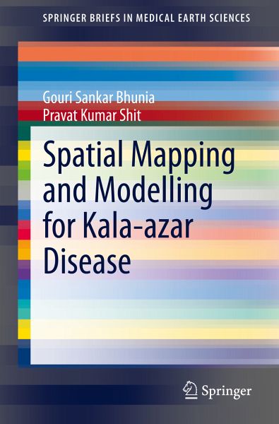
Spatial Mapping and Modelling for Kala-azar Disease (eBook, PDF)
Versandkostenfrei!
Sofort per Download lieferbar
40,95 €
inkl. MwSt.
Weitere Ausgaben:

PAYBACK Punkte
20 °P sammeln!
This book addresses the current challenges in controlling Kala-azar disease (Visceral leishmaniasis) in India and other VL-endemic areas, and aims to develop and apply a geo-environmental risk model based on primary and secondary data with the aid of remote sensing and GIS technologies to assess and mitigate Kala-azar transmission. Through case studies carried out in India, the book provides insight into the relationship between geo-environmental variables and encroachments of Kala-azar, and identifies potential pathways for VL introduction to develop mitigation strategies using GIS and remote...
This book addresses the current challenges in controlling Kala-azar disease (Visceral leishmaniasis) in India and other VL-endemic areas, and aims to develop and apply a geo-environmental risk model based on primary and secondary data with the aid of remote sensing and GIS technologies to assess and mitigate Kala-azar transmission. Through case studies carried out in India, the book provides insight into the relationship between geo-environmental variables and encroachments of Kala-azar, and identifies potential pathways for VL introduction to develop mitigation strategies using GIS and remote sensing technologies. The book critically assesses existing VL mitigation measures that do not adequately account for geo-environmental conditions, and analyzes the environmental factors that aid Kala-azar transmission using remote sensing, spatial statistics and data mining techniques. The book will be of interest to epidemiologists, researchers and practitioners using geospatial data practices to study disease transmission and associated monitoring technologies.
Dieser Download kann aus rechtlichen Gründen nur mit Rechnungsadresse in A, B, BG, CY, CZ, D, DK, EW, E, FIN, F, GR, HR, H, IRL, I, LT, L, LR, M, NL, PL, P, R, S, SLO, SK ausgeliefert werden.


