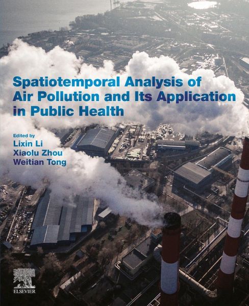
Spatiotemporal Analysis of Air Pollution and Its Application in Public Health (eBook, ePUB)
Versandkostenfrei!
Sofort per Download lieferbar
95,95 €
inkl. MwSt.

PAYBACK Punkte
48 °P sammeln!
Spatiotemporal Analysis of Air Pollution and Its Application in Public Health reviews, in detail, the tools needed to understand the spatial temporal distribution and trends of air pollution in the atmosphere, including how this information can be tied into the diverse amount of public health data available using accurate GIS techniques. By utilizing GIS to monitor, analyze and visualize air pollution problems, it has proven to not only be the most powerful, accurate and flexible way to understand the atmosphere, but also a great way to understand the impact air pollution has in diverse popula...
Spatiotemporal Analysis of Air Pollution and Its Application in Public Health reviews, in detail, the tools needed to understand the spatial temporal distribution and trends of air pollution in the atmosphere, including how this information can be tied into the diverse amount of public health data available using accurate GIS techniques. By utilizing GIS to monitor, analyze and visualize air pollution problems, it has proven to not only be the most powerful, accurate and flexible way to understand the atmosphere, but also a great way to understand the impact air pollution has in diverse populations. This book is essential reading for novices and experts in atmospheric science, geography and any allied fields investigating air pollution. - Introduces readers to the benefits and uses of geo-spatiotemporal analyses of big data to reveal new and greater understanding of the intersection of air pollution and health - Ties in machine learning to improve speed and efficacy of data models - Includes developing visualizations, historical data, and real-time air pollution in large geographic areas
Dieser Download kann aus rechtlichen Gründen nur mit Rechnungsadresse in A, B, BG, CY, CZ, D, DK, EW, E, FIN, F, GR, HR, H, IRL, I, LT, L, LR, M, NL, PL, P, R, S, SLO, SK ausgeliefert werden.


