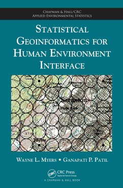
Illustrating the interdisciplinary nature of geoinformatics, this book presents two paradigms (localization and multiple indicators) for the spatial analysis of human influences and environmental resources. The first approach localizes thematic targets by treating space as a pattern of vicinities, with the pattern being a square grid and the placement of vicinities centrically referenced. The second approach explores human/environment interface as an abstraction through indicators, neutralizing the common conundrum of how to reconcile disparate spatial structures such as points, lines, and polygons.
Dieser Download kann aus rechtlichen Gründen nur mit Rechnungsadresse in A, B, BG, CY, CZ, D, DK, EW, E, FIN, F, GR, HR, H, IRL, I, LT, L, LR, M, NL, PL, P, R, S, SLO, SK ausgeliefert werden.

