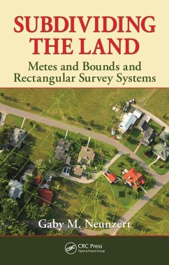
Ideally, every tract of land has a description on paper and a physical survey on the ground. When boundary disputes arise, all parties concerned must quickly learn the vocabulary and processes involved with real estate. Written for anyone working in real estate transactions, Subdividing the Land: Metes and Bounds and Rectangular Survey Systems provides this essential background. It defines key legal terms and the structure of the U.S. Land Survey System and offers many illustrations and tables that clearly explain the concepts.
Dieser Download kann aus rechtlichen Gründen nur mit Rechnungsadresse in A, B, BG, CY, CZ, D, DK, EW, E, FIN, F, GR, HR, H, IRL, I, LT, L, LR, M, NL, PL, P, R, S, SLO, SK ausgeliefert werden.


