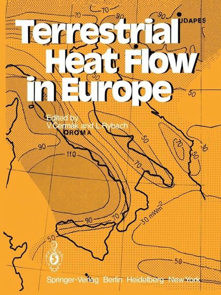
Terrestrial Heat Flow in Europe (eBook, PDF)
Versandkostenfrei!
Sofort per Download lieferbar
72,95 €
inkl. MwSt.
Weitere Ausgaben:

PAYBACK Punkte
36 °P sammeln!
The outflow of heat from the earth's interior, the terrestrial heat flow, and the temperature field at depth are determined by deep-seated tectonic processes. The knowledge of the re gional heat flow pattern is thus very important in geophysics and provides a useful tool for studying crustal and litho spheric structure and understanding the nature of their evo lution. In order to use the results of heat flow measurements for regional studies and/or to correlate the observed surface geothermal activity with other geophysical or geological fea tures, a map showing the surface distribution of hea...
The outflow of heat from the earth's interior, the terrestrial heat flow, and the temperature field at depth are determined by deep-seated tectonic processes. The knowledge of the re gional heat flow pattern is thus very important in geophysics and provides a useful tool for studying crustal and litho spheric structure and understanding the nature of their evo lution. In order to use the results of heat flow measurements for regional studies and/or to correlate the observed surface geothermal activity with other geophysical or geological fea tures, a map showing the surface distribution of heat flow is necessary. Since 1963, when the first comprehensive listing of all available heat flow data appeared (Lee, 1963), several at tempts have been made to up-date the list, to classify all the data and to interpret them with respect to tectonics, deep structure and to use them for constructing surface heat flow maps. The first listing was subsequently revised by Lee and Uyeda (1965); numerous new data which were published there after were included in successive catalogs compiled by Simmons and Horai (1968) and then again by Jessop et al. (1976). The map showing the surface heat flow pattern may also be of great value for practical purposes, in view of the recent world-wide search for applicable sources of geothermal energy.
Dieser Download kann aus rechtlichen Gründen nur mit Rechnungsadresse in A, B, BG, CY, CZ, D, DK, EW, E, FIN, F, GR, HR, H, IRL, I, LT, L, LR, M, NL, PL, P, R, S, SLO, SK ausgeliefert werden.


