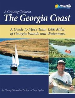
The Georgia Coast, Waterways, and Islands is a new kind of boater's guide to the intricate, unspoiled and exciting coast of Georgia. The guide describes the flora and fauna of varied rich ecosystems as you travel through the natural and human history of over 1,500 miles of waterways. 134 minutely-detailed chartlets, unrivaled by any other guide, show the latest depths allowing boaters more flexibility to enjoy the Georgia coast. Navigator-friendly, north-oriented chartlets picking up where NOAA left off will empower you to customize your itinerary. Beautiful photography along with essential shore descriptions provides thorough information about all forms of coastal activities - cruising, fishing, sailing, diving, kayaking, canoeing, and hiking. This is the only comprehensive guide to the barrier islands, the Intracoastal Waterway, the freshwater rivers, swamps, and saltwater marshes that make up the coast of Georgia. This Guide includes:.A Quick Guide To The Intracoastal Waterway.The Most Complete Boat Ramp Lists Available.List Of Navigational Aids.GPS Waypoints.Bird List And The Colonial Coast Birding Trail.Saltwater Fishing Regulations.Extensive, Easy To Use Index.Artificial Reef Buoy Positions.Cumberland Island Trails.Detailed Information On Marinas, Boatyards And Fish Camps.Savannah River Described From Augusta To Savannah.Access Information For Undeveloped Barrier Islands
Dieser Download kann aus rechtlichen Gründen nur mit Rechnungsadresse in A, D ausgeliefert werden.

