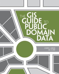
The GIS Guide to Public Domain Data gives users of geographic information systems (GIS) relevant information about the sources and quality of available public domain spatial data. Readers will understand how to find, evaluate, and analyze data to solve location-based problems. This guide covers practical issues such as copyrights, cloud computing, online data portals, volunteered geographic information, and international data. Supplementary exercises are available online to help put the concepts into practice. Students, researchers, and professionals will find The GIS Guide to Public Domain Data a useful desk companion to help them navigate the world of spatial data in the public domain.
Dieser Download kann aus rechtlichen Gründen nur mit Rechnungsadresse in A, D ausgeliefert werden.


