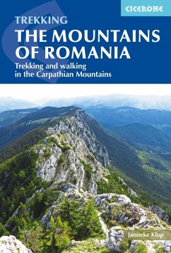
A guidebook to a selection of 37 walks and short treks (of 26 days) in the mountains of Romania. Routes are graded by difficulty: popular routes have a good network of mountain huts, whereas more remote backpacking routes require complete self-sufficiency.
Day walks range from 11 to 24km and can be enjoyed in 58 hours. Treks range from 13 to 98km. The routes cover the mountains of Maramures, the Eastern Carpathians, the mountains around Brasov, the Fagaras Mountains, the region from the Olt to the Jiu, and the Retezat, Banat and Apuseni Mountains. Also included is an ascent of Moldoveanu, Romania's highest peak.
Day walks range from 11 to 24km and can be enjoyed in 58 hours. Treks range from 13 to 98km. The routes cover the mountains of Maramures, the Eastern Carpathians, the mountains around Brasov, the Fagaras Mountains, the region from the Olt to the Jiu, and the Retezat, Banat and Apuseni Mountains. Also included is an ascent of Moldoveanu, Romania's highest peak.
- Clear route description illustrated with 1:100,000 mapping
- GPX files available to download
- Notes on access, accommodation and water sources for each day's walking
- Accommodation listings for each mountain area
- Advice on planning and preparation, including kitlist, local transport and safety
Dieser Download kann aus rechtlichen Gründen nur mit Rechnungsadresse in A, D ausgeliefert werden.


