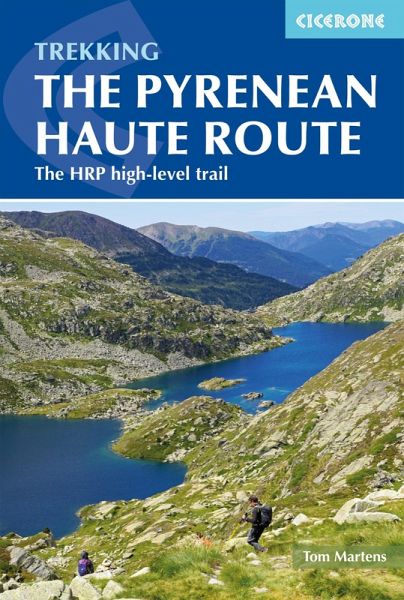
The Pyrenean Haute Route (eBook, ePUB)
The HRP high-level trail
Versandkostenfrei!
Sofort per Download lieferbar
Statt: 28,90 €**
16,95 €
inkl. MwSt.
**Preis der gedruckten Ausgabe (Broschiertes Buch)
Alle Infos zum eBook verschenkenWeitere Ausgaben:

PAYBACK Punkte
8 °P sammeln!
A guidebook to trekking the 748km (465 mile) Pyrenean Haute Route (Haute Randonnée Pyrénéenne, HRP) along the FranceSpain border. Suitable for fit experienced trekkers comfortable with mountainous terrain, this challenging unwaymarked route traverses the Pyrenees from sea to sea, from Hendaye on the Atlantic Coast to Banyuls-sur-Mer on the Mediterranean, with the aim of staying as high as possible.The PHR is divided into 44 graded stages of 8 to 28km (517 miles), nearly all ending at overnight accommodation. These are presented in 5 sections, which can be accessed by public transport, for t...
A guidebook to trekking the 748km (465 mile) Pyrenean Haute Route (Haute Randonnée Pyrénéenne, HRP) along the FranceSpain border. Suitable for fit experienced trekkers comfortable with mountainous terrain, this challenging unwaymarked route traverses the Pyrenees from sea to sea, from Hendaye on the Atlantic Coast to Banyuls-sur-Mer on the Mediterranean, with the aim of staying as high as possible.
The PHR is divided into 44 graded stages of 8 to 28km (517 miles), nearly all ending at overnight accommodation. These are presented in 5 sections, which can be accessed by public transport, for the benefit of those wishing to trek only part of the route. Also included are optional ascents of 10 classic summits, including Vignemale, Le Taillon and Pico de Aneto.
The PHR is divided into 44 graded stages of 8 to 28km (517 miles), nearly all ending at overnight accommodation. These are presented in 5 sections, which can be accessed by public transport, for the benefit of those wishing to trek only part of the route. Also included are optional ascents of 10 classic summits, including Vignemale, Le Taillon and Pico de Aneto.
- 1:100,000 mapping and elevation profile provided for each stage
- GPX files available for download
- Handy route summary and facilities tables help you plan your itinerary
- Accommodation and facilities
- Advice on planning and preparation, including equipment, supplies and safety considerations
Dieser Download kann aus rechtlichen Gründen nur mit Rechnungsadresse in A, D ausgeliefert werden.


