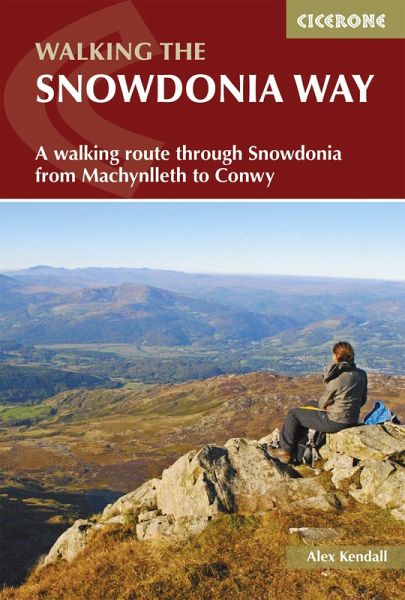
The Snowdonia Way (eBook, ePUB)
A walking route through Eryri from Machynlleth to Conwy

PAYBACK Punkte
7 °P sammeln!
Guidebook to walking the Snowdonia Way through Eryri (Snowdonia) National Park in Wales, from Machynlleth to Conwy, with low and high-level mountain options.The 97 mile (156km) low-level route is described over 6 stages of between 13 and 21 miles (2134km) whereas the mountain route covers 122 miles in 9 stages of 12 to 18 miles (1929km). Route description illustrated with 1:50,000 OS mapping Crosses the heart of Eryri (Snowdonia) via Dolgellau, Trawsfynydd, Beddgelert, Dolwyddelan, Capel Curig and Bethesda Mountain route takes in Cadair Idris, Yr Wyddfa (Snowdon) and the Glyders The low-level...
Guidebook to walking the Snowdonia Way through Eryri (Snowdonia) National Park in Wales, from Machynlleth to Conwy, with low and high-level mountain options.
The 97 mile (156km) low-level route is described over 6 stages of between 13 and 21 miles (2134km) whereas the mountain route covers 122 miles in 9 stages of 12 to 18 miles (1929km).
The 97 mile (156km) low-level route is described over 6 stages of between 13 and 21 miles (2134km) whereas the mountain route covers 122 miles in 9 stages of 12 to 18 miles (1929km).
- Route description illustrated with 1:50,000 OS mapping
- Crosses the heart of Eryri (Snowdonia) via Dolgellau, Trawsfynydd, Beddgelert, Dolwyddelan, Capel Curig and Bethesda
- Mountain route takes in Cadair Idris, Yr Wyddfa (Snowdon) and the Glyders
- The low-level route involves long days but mainly easy walking; the high-level route includes more challenging navigation, considerable ascent and some pathless terrain
- Since they intersect regularly, it is possible to mix and match between the low and high-level routes
- Information on facilities and selective accommodation listings
- Notes on geology, history, plants, wildlife and folklore
Dieser Download kann aus rechtlichen Gründen nur mit Rechnungsadresse in A, D ausgeliefert werden.


