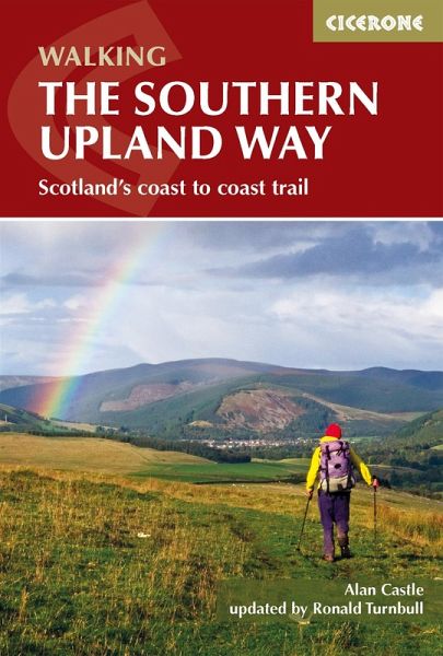
The Southern Upland Way (eBook, ePUB)
Scotland's Coast to Coast trail
Mitwirkender: Turnbull, Ronald
Versandkostenfrei!
Sofort per Download lieferbar
12,95 €
inkl. MwSt.
Weitere Ausgaben:

PAYBACK Punkte
6 °P sammeln!
A guidebook to Scotland's coast-to-coast walk, The Southern Upland Way. At 347 kms (215 miles), this is the longest of Scotland's Great Trails, linking Portpatrick in the west to Cockburnspath in the east.The route is presented in 14 stages of between 15 and 30 kms (9-19 miles) with an additional rest day suggested to explore Moffat. Crossing the high moorland of the Galloway Hills, Carsphairn range, Lowther and Ettrick Hills, the walk is a strenuous one, calling for competence, fitness, and self-reliance. Clear route descriptions accompany 1:50,000 OS mapping Trek planner with accommodation ...
A guidebook to Scotland's coast-to-coast walk, The Southern Upland Way. At 347 kms (215 miles), this is the longest of Scotland's Great Trails, linking Portpatrick in the west to Cockburnspath in the east.
The route is presented in 14 stages of between 15 and 30 kms (9-19 miles) with an additional rest day suggested to explore Moffat. Crossing the high moorland of the Galloway Hills, Carsphairn range, Lowther and Ettrick Hills, the walk is a strenuous one, calling for competence, fitness, and self-reliance.
The route is presented in 14 stages of between 15 and 30 kms (9-19 miles) with an additional rest day suggested to explore Moffat. Crossing the high moorland of the Galloway Hills, Carsphairn range, Lowther and Ettrick Hills, the walk is a strenuous one, calling for competence, fitness, and self-reliance.
- Clear route descriptions accompany 1:50,000 OS mapping
- Trek planner with accommodation options to help you plan your trip
- Includes advice on backpacking taking advantage of five bothies and unlimited wild camping possibilities or staying in accommodation (ideally reached via pre-arranged vehicle pick-up)
- Notes on history, geography, and local sights
- GPX files available to download
Dieser Download kann aus rechtlichen Gründen nur mit Rechnungsadresse in A, D ausgeliefert werden.


