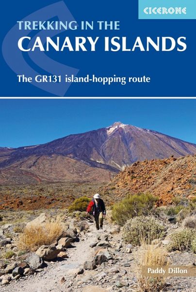
Trekking in the Canary Islands (eBook, ePUB)
The GR131 island-hopping route
Versandkostenfrei!
Sofort per Download lieferbar
14,95 €
inkl. MwSt.
Weitere Ausgaben:

PAYBACK Punkte
7 °P sammeln!
A guidebook to trekking the 560km (348 mile) GR131 across the Canary Islands. The island-hopping long-distance trail crosses Lanzarote, Fuerteventura, Gran Canaria, Tenerife, La Gomera, La Palma and El Hierro and can be hiked in around a month, or split into shorter sections. Most of the route uses quiet roads, tracks and old mule paths, but there are some remote stretches, as well as occasional steep and rocky mountain paths.The route is presented in 32 stages of between 7 and 30km (418 miles). Also included is an optional ascent of Spain's highest peak, El Teide on Tenerife. Clear route des...
A guidebook to trekking the 560km (348 mile) GR131 across the Canary Islands. The island-hopping long-distance trail crosses Lanzarote, Fuerteventura, Gran Canaria, Tenerife, La Gomera, La Palma and El Hierro and can be hiked in around a month, or split into shorter sections. Most of the route uses quiet roads, tracks and old mule paths, but there are some remote stretches, as well as occasional steep and rocky mountain paths.
The route is presented in 32 stages of between 7 and 30km (418 miles). Also included is an optional ascent of Spain's highest peak, El Teide on Tenerife.
The route is presented in 32 stages of between 7 and 30km (418 miles). Also included is an optional ascent of Spain's highest peak, El Teide on Tenerife.
- Clear route description illustrated with 1:50,000 mapping
- GPX files available to download
- Notes on accommodation, refreshments and local transport
- Information on ferry transfers between the islands
- Sized to easily fit in a jacket pocket
Dieser Download kann aus rechtlichen Gründen nur mit Rechnungsadresse in A, D ausgeliefert werden.


