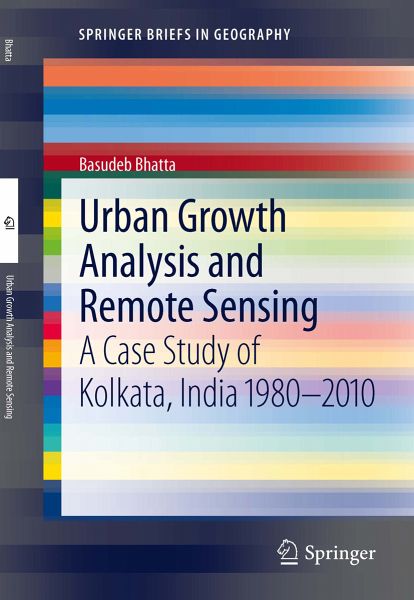
Urban Growth Analysis and Remote Sensing (eBook, PDF)
A Case Study of Kolkata, India 1980-2010
Versandkostenfrei!
Sofort per Download lieferbar
40,95 €
inkl. MwSt.
Weitere Ausgaben:

PAYBACK Punkte
20 °P sammeln!
This book documents research conducted on the analysis of urban growth and sprawl by using remote sensing data and GIS techniques. The research was conducted between 1980-2010 in the city of Kolkata, India. The aim of the research was to use metrics that were less demanding in terms of data and computation than normal metrics. However, it has been found that most of them were inferior in capturing insights of urban sprawl. For this book, some of these metrics have therefore been modified and new ones are proposed. The research focuses on problems associated with the analysis of urban growth by...
This book documents research conducted on the analysis of urban growth and sprawl by using remote sensing data and GIS techniques. The research was conducted between 1980-2010 in the city of Kolkata, India. The aim of the research was to use metrics that were less demanding in terms of data and computation than normal metrics. However, it has been found that most of them were inferior in capturing insights of urban sprawl. For this book, some of these metrics have therefore been modified and new ones are proposed. The research focuses on problems associated with the analysis of urban growth by using remote sensing data from a technological perspective.
Dieser Download kann aus rechtlichen Gründen nur mit Rechnungsadresse in A, B, BG, CY, CZ, D, DK, EW, E, FIN, F, GR, HR, H, IRL, I, LT, L, LR, M, NL, PL, P, R, S, SLO, SK ausgeliefert werden.


