65,95 €
65,95 €
inkl. MwSt.
Sofort per Download lieferbar
33 °P sammeln
65,95 €
Als Download kaufen
65,95 €
inkl. MwSt.
Sofort per Download lieferbar
33 °P sammeln
Jetzt verschenken
Alle Infos zum eBook verschenken
65,95 €
inkl. MwSt.
Sofort per Download lieferbar
Alle Infos zum eBook verschenken
33 °P sammeln
- Format: ePub
- Merkliste
- Auf die Merkliste
- Bewerten Bewerten
- Teilen
- Produkt teilen
- Produkterinnerung
- Produkterinnerung
Bitte loggen Sie sich zunächst in Ihr Kundenkonto ein oder registrieren Sie sich bei
bücher.de, um das eBook-Abo tolino select nutzen zu können.
Hier können Sie sich einloggen
Sie sind bereits eingeloggt. Klicken Sie auf 2. tolino select Abo, um fortzufahren.
Bitte loggen Sie sich zunächst in Ihr Kundenkonto ein oder registrieren Sie sich bei bücher.de, um das eBook-Abo tolino select nutzen zu können.
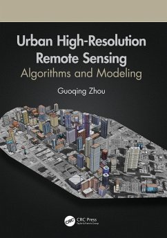
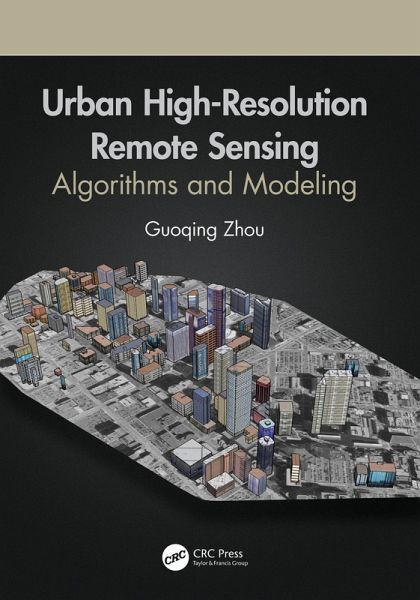
This book presents advanced image processing methods and algorithms focused on three very important roots of urban remote sensing: 3D urban modelling using different remotely sensed data, urban orthophotomap generation, and urban feature extraction, which are also today's real challenges in high resolution remote sensing.
- Geräte: eReader
- ohne Kopierschutz
- eBook Hilfe
- Größe: 120.04MB
Andere Kunden interessierten sich auch für
- Guoqing ZhouUrban High-Resolution Remote Sensing (eBook, PDF)65,95 €
- Re-envisioning Remote Sensing Applications (eBook, ePUB)59,95 €
- Nicolas R. DaleziosRemote Sensing Applications in Environmental and Earth System Sciences (eBook, ePUB)48,95 €
- Re-envisioning Advances in Remote Sensing (eBook, ePUB)48,95 €
- Jay GaoFundamentals of Spatial Analysis and Modelling (eBook, ePUB)48,95 €
- Gianfranco D. de GrandiSpatial Analysis for Radar Remote Sensing of Tropical Forests (eBook, ePUB)53,95 €
- Mapping, Monitoring, and Modeling Land and Water Resources (eBook, ePUB)48,95 €
-
-
-
This book presents advanced image processing methods and algorithms focused on three very important roots of urban remote sensing: 3D urban modelling using different remotely sensed data, urban orthophotomap generation, and urban feature extraction, which are also today's real challenges in high resolution remote sensing.
Dieser Download kann aus rechtlichen Gründen nur mit Rechnungsadresse in A, B, BG, CY, CZ, D, DK, EW, E, FIN, F, GR, HR, H, IRL, I, LT, L, LR, M, NL, PL, P, R, S, SLO, SK ausgeliefert werden.
Produktdetails
- Produktdetails
- Verlag: Taylor & Francis
- Seitenzahl: 368
- Erscheinungstermin: 21. Dezember 2020
- Englisch
- ISBN-13: 9781000287714
- Artikelnr.: 68434551
- Verlag: Taylor & Francis
- Seitenzahl: 368
- Erscheinungstermin: 21. Dezember 2020
- Englisch
- ISBN-13: 9781000287714
- Artikelnr.: 68434551
Guoqing Zhou received his first Ph.D. from Wuhan University, Wuhan, China, in 1994 and his second Ph.D. from Virginia Tech at Blacksburg, Virginia, USA in 2001. He was a Visiting Scholar at the Department of Computer Science and Technology, Tsinghua University, Beijing, China, and a Postdoctoral Researcher at the Institute of Information Science, Beijing Jiaotong University, Beijing, China from 1994-1996. He continued his research as an Alexander von Humboldt Fellow at Technical University of Berlin, Berlin, Germany from 1997-1998, and afterward became a Postdoctoral Researcher at the Ohio State University, Columbus, OH, USA from 1998 to 2000. Later he worked at Old Dominion University, Norfolk, VA, USA, as an Assistant Professor, Associate Professor, and Full Professor in 2000, 2005, and 2010, respectively. He is currently professor at the Guilin University of Technology, Guilin, China. He is author of 4 books and has published more than 300 papers in peer-reviewed journals and conference proceedings.
Part I Introduction. Chapter 1 Introduction. Chapter 2 Urban Remote Sensing
and Urban Studies. Chapter 3 Advances of Urban Remote Sensing. Part II
Information Extroduction. Chapter 4 Urban 3D Surface Information Extraction
from Aerial Image Sequences. Chapter 5 Urban 3D Surface Information
Extraction from Linear Pushbroom Stereo Imagery. Chapter 6 Urban 3D
Building Extraction Through Lidar and Aerial Imagery. Chapter 7 Urban 3D
Building Extraction From Lidar and Orthoimages. Chapter 8 Vehicle
Extraction from High Resolution Aerial Image. Chapter 9 Single Tree Canopy
Extraction From Lidar Point Cloud Data. Chapter 10 Power Lines Extraction
from Aerial Images. Part III Urban Orthophotomap Generation. Chapter 11 The
Basic Principle of Urban True Orthophotomap Generation. Chapter 12 Orthomap
Creation with Extremely High Buildings. Chapter 13 Near Real-Time
Orthophoto Map Generation from UAV Video. Chapter 14 Orthophotomap
Generation from Satellite Imagery without Camera Parameters. Chapter 15
Building Occlusion Detection in Urban True Orthophotomap. Part IV Advanced
Agorithms Urban Remote Sensing Application. Chapter 16 Hierarchical Spatial
Features Learning for Image Classification. Chapter 17 Surface Soil
Moisture Retrieval From CBERS-02B Satellite Imagery. Chapter 18 Measuring
Control Delay at Signalized Intersections Using GPS and Video Flow. Chapter
19 Measurement of Dry Asphalt Road Surface Friction Using Hyperspectral
Images