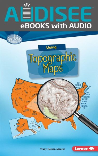
Using Topographic Maps (eBook, ePUB)

PAYBACK Punkte
3 °P sammeln!
Audisee® eBooks with Audio combine professional narration and text highlighting for an engaging read aloud experience! Want to know just how tall Mount Everest is? Or what the city of Denver''s elevation is? Then look at a topographic map! These maps use lines to show the height and shape of Earth''s surface. But how do you read the lines? And what other features do these maps have? Read on to learn the ins and outs of topographic maps!
Dieser Download kann aus rechtlichen Gründen nur mit Rechnungsadresse in A, B, BG, CY, CZ, D, DK, EW, E, FIN, F, GR, HR, H, IRL, I, LT, L, LR, M, NL, PL, P, R, S, SLO, SK ausgeliefert werden.


