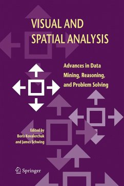
This book contains 21 chapters that have been grouped into five parts: (1) visual problem solving and decision making, (2) visual and heterogeneous reasoning, (3) visual correlation, (4) visual and spatial data mining, and (5) visual and spatial problem solving in geospatial domains. Each chapter ends with a summary and exercises.
The book is intended for professionals and graduate students in computer science, applied mathematics, imaging science and Geospatial Information Systems (GIS). In addition to being a state-of-the-art research compilation, this book can be used a text for advanced courses on the subjects such as modeling, computer graphics, visualization, image processing, data mining, GIS, and algorithm analysis.
Dieser Download kann aus rechtlichen Gründen nur mit Rechnungsadresse in A, B, BG, CY, CZ, D, DK, EW, E, FIN, F, GR, HR, H, IRL, I, LT, L, LR, M, NL, PL, P, R, S, SLO, SK ausgeliefert werden.
Hinweis: Dieser Artikel kann nur an eine deutsche Lieferadresse ausgeliefert werden.

