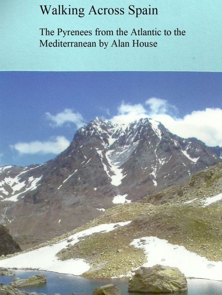
Walking Across Spain - The Pyrenees from the Atlantic to the Mediterranean (eBook, ePUB)

PAYBACK Punkte
1 °P sammeln!
This is a description of walking the length of the Spanish Pyrenees from coast to coast between 2004 and 2011. The majority of the walk was on the GR11, a long-distance footpath in Spain, and also parts of the high French Pyrenees around Gavarnie and Cauterets on GR10. The description gives details of the landscape, villages and local history of the area, including the route through the Basque Country, Navarra, Aragon, Andorra and Catalonia. It also gives the authors account of the day to day experiences of walking through a varied terrain of delightful hanging valleys, high passes reaching ne...
This is a description of walking the length of the Spanish Pyrenees from coast to coast between 2004 and 2011. The majority of the walk was on the GR11, a long-distance footpath in Spain, and also parts of the high French Pyrenees around Gavarnie and Cauterets on GR10. The description gives details of the landscape, villages and local history of the area, including the route through the Basque Country, Navarra, Aragon, Andorra and Catalonia. It also gives the authors account of the day to day experiences of walking through a varied terrain of delightful hanging valleys, high passes reaching nearly 3000 m altitude and alpine meadows. Nights were spent camping in the mountains, hostels and mountain refuges. Although this is not a travel guide to a particular route, it supplements them by relating what is in the area and what other travelers have found in the past century. There are many color photographs and some details of GPS usage on the GR11. The script and photos were updated in the second edition in 2023.
Dieser Download kann aus rechtlichen Gründen nur mit Rechnungsadresse in A, B, BG, CY, CZ, D, DK, EW, E, FIN, F, GR, HR, H, IRL, I, LT, L, LR, M, NL, PL, P, R, S, SLO, SK ausgeliefert werden.


