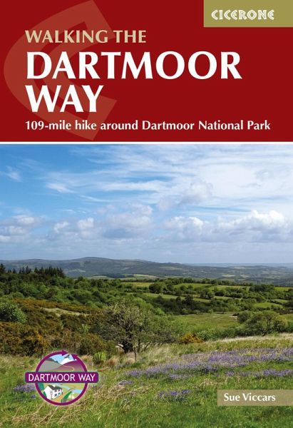
Walking the Dartmoor Way (eBook, ePUB)
109-mile hike around Dartmoor National Park
Versandkostenfrei!
Sofort per Download lieferbar
14,95 €
inkl. MwSt.
Weitere Ausgaben:

PAYBACK Punkte
7 °P sammeln!
A guidebook to walking the Dartmoor Way. Covering 175km (109 miles), this long-distance circular trek exploring Devon's Dartmoor National Park can be hiked in 10 days and is suitable for walkers of most abilities.The route is described anticlockwise from Ivybridge in 10 stages, each between 12 and 21km (813 miles). Each stage includes low-level detours in case of bad weather, as well as details of walking the route in reverse. The 2-stage, 37km (23 mile) High Moor Link is also described. 1:50,000 OS maps included for each stage GPX files available to download Detailed information on facilitie...
A guidebook to walking the Dartmoor Way. Covering 175km (109 miles), this long-distance circular trek exploring Devon's Dartmoor National Park can be hiked in 10 days and is suitable for walkers of most abilities.
The route is described anticlockwise from Ivybridge in 10 stages, each between 12 and 21km (813 miles). Each stage includes low-level detours in case of bad weather, as well as details of walking the route in reverse. The 2-stage, 37km (23 mile) High Moor Link is also described.
The route is described anticlockwise from Ivybridge in 10 stages, each between 12 and 21km (813 miles). Each stage includes low-level detours in case of bad weather, as well as details of walking the route in reverse. The 2-stage, 37km (23 mile) High Moor Link is also described.
- 1:50,000 OS maps included for each stage
- GPX files available to download
- Detailed information on facilities, public transport and accommodation on route
- Advice on planning and preparation
Dieser Download kann aus rechtlichen Gründen nur mit Rechnungsadresse in A, D ausgeliefert werden.


