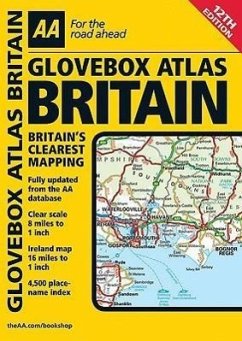
An atlas that includes a county, administrative area map of Britain and a comprehensive 4,500 place name index. It offers information on road map symbols, key to map page and mileage charts. It is suitable for those who are traveling through Britain and Ireland.
Fully updated with mapping throughout, this atlas includes coverage of the whole of Britain. Motorways, primary routes, A and B roads and toll points are all clearly marked. It also includes mapping and an index of Ireland.
Hinweis: Dieser Artikel kann nur an eine deutsche Lieferadresse ausgeliefert werden.


