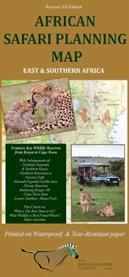
Printed on waterproof, tear-resistant paper, this is the only Safari Planning Map to Africa on the market and includes key elements essential in planning a successful safari. This full-color map is large (38.25" x 26.5") and is in itself a work of art by Mark Nolting, the author of Africa's Top Wildlife Countries and the African Safari Journal and Field Guide (each with over 200,000 copies in print). The map emphasizes the wildlife areas and provides information needed to plan a safari, whereas other maps focus on intricate road systems etc. which are irrelevant to most international safariers, as they either fly from camp to camp, or they are driven by guides. Side 1 includes: All the top safari countries and important wildlife reserves in East and Southern Africa "When's The Best Time to Go for Wildlife Viewing" chart "What Wildlife is Best Found Where" chart Temperature and Rainfall charts Side 2 includes: Enlargements of the two key regions visited by most travelers: The Okavango Delta (Northern Botswana) to Victoria Falls, and Northern Tanzania and Southern Kenya The Great Serengeti Migration The Okavango Delta Flood (inundation) Enlargements of other popular reserves The location of the best safari camps and lodges
Hinweis: Dieser Artikel kann nur an eine deutsche Lieferadresse ausgeliefert werden.
Hinweis: Dieser Artikel kann nur an eine deutsche Lieferadresse ausgeliefert werden.

