13,99 €
inkl. MwSt.

Versandfertig in über 4 Wochen
  • Landkarte

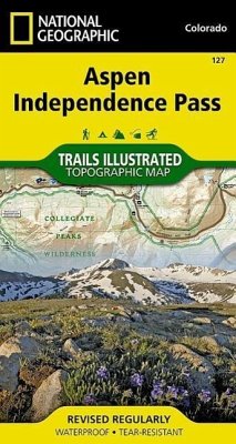
Coverage includes White River, San Isabel and Gunnison national forests. Maroon Bells Snowmass, Hunter Fryingpan, Mt. Massive, Collegiate Peaks and Spruce Creek wilderness areas. Aspen and Twin lakes. Roaring Fork River, Lake and Lincoln creeks. 14ers: Mt. Elbert, Mt. Massive, Castle and La Plata peaks. Willis, Fryingpan and Evergreen lakes. Taylor, Midway, and Independence passes. Ski Areas: Aspen and Buttermilk. 10th Mountain Huts: Tagert Hut, Wilson Hut, Barnard Hut, Markely Hut, McNamara Hut. Includes UTM grids for use with your GPS unit.

Produktbeschreibung
Coverage includes White River, San Isabel and Gunnison national forests. Maroon Bells Snowmass, Hunter Fryingpan, Mt. Massive, Collegiate Peaks and Spruce Creek wilderness areas. Aspen and Twin lakes. Roaring Fork River, Lake and Lincoln creeks. 14ers: Mt. Elbert, Mt. Massive, Castle and La Plata peaks. Willis, Fryingpan and Evergreen lakes. Taylor, Midway, and Independence passes. Ski Areas: Aspen and Buttermilk. 10th Mountain Huts: Tagert Hut, Wilson Hut, Barnard Hut, Markely Hut, McNamara Hut. Includes UTM grids for use with your GPS unit.
Autorenporträt
Founded in 1915 as the Cartographic Group, the first division of National Geographic, National Geographic Maps has been responsible for illustrating the world around us through the art and science of mapmaking.Today, National Geographic Maps continues this mission by creating the world's best wall maps, recreation maps, atlases, and globes which inspire people to care about and explore their world.