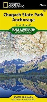
Every Trails Illustrated map is an essential tool for safely navigating the backcountry with GPS or compass as they are clearly marked with both Latitude/Longitude and UTM coordinate grids, compass rose with magnetic declination, scale bar, and full legend. Chugach State Park, Anchorage is printed in the U.S.A. on a durable synthetic sheet, making it waterproof, tear-resistant, and capable for withstanding any condition Mother Nature can dish out. The map is printed on both sides and folded to an easily package size. Specifications: Copyright 2014 Scale 1:90,000 Contour Interval = 50 feet Folded Size: Unfolded Size: NG Product Number: 746
Hinweis: Dieser Artikel kann nur an eine deutsche Lieferadresse ausgeliefert werden.
Hinweis: Dieser Artikel kann nur an eine deutsche Lieferadresse ausgeliefert werden.

