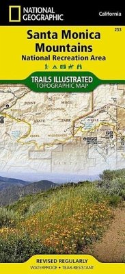
This two-sided map includes San Miguel Island, Santa Rosa Island, Santa Cruz Island, Santa Barbara Island, and Anacapa Island. The map combines beautiful cartography that shows the topology and natural features of each island, along with hiking trails, camping spots, rest areas, notable ship wrecks, marine reserves, and other features to help get you around each of the islands. Large scale insets of Santa Cruz's Scorpion Area, Santa Barbarbara Island, and Anacapa Island show trail detail, camping, picnic areas, and facilities. The map also includes a detailed description of each island, along with safety information, regulations and guidelines, hiking information and camping information. Includes UTM grids for use with your GPS unit.
Hinweis: Dieser Artikel kann nur an eine deutsche Lieferadresse ausgeliefert werden.
Hinweis: Dieser Artikel kann nur an eine deutsche Lieferadresse ausgeliefert werden.


![Green Mountain National Forest South Map [Robert T. Stafford White Rocks National Recreation Area, Manchester] Green Mountain National Forest South Map [Robert T. Stafford White Rocks National Recreation Area, Manchester]](https://bilder.buecher.de/produkte/32/32032/32032272m.jpg)

