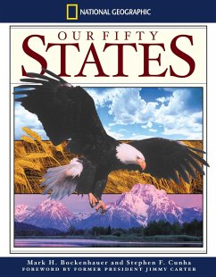
Filled with beautiful illustrations, specially designed maps, and concise essays written by members of the Society's Geographic Alliance Program, this authoritative guide reveals fascinating details behind each state's unique history, climate, resources, and more. Full color.
With beautiful illustrations, specially designed maps, and concise essays written and reviewed by National Geographic's Alliance Program, this authoritative guide stands alone among children's reference titles. Easy-to-read physical maps introduce each region of the U.S., followed by a lively essay of the area's history, climate, natural resources, and physical features.
Hinweis: Dieser Artikel kann nur an eine deutsche Lieferadresse ausgeliefert werden.


