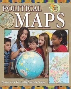
Political maps are often the first kind of maps children learn about. They feature the boundaries of countries, states or provinces, and cities, as well as such physical features as lakes and oceans. Children will learn how to use these kinds of maps that are so important to project work.
Hinweis: Dieser Artikel kann nur an eine deutsche Lieferadresse ausgeliefert werden.
Hinweis: Dieser Artikel kann nur an eine deutsche Lieferadresse ausgeliefert werden.

