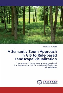
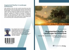
In high-realism landscape visualization, the information visualized from 3D scenes is subjective and abstracted to a large extent unless there is a tool to help describe the landscape under visualization.The author established rules in GIS for allocating a proper level of detail to 3D object models before integration to the terrain for scene rendering. In addition, semantic zoom tools were designed and implemented in GIS for rule-based landscape visualization. The concept and implementation of the semantic zoom technique was assessed and evaluated in terms of their ease of use and additional knowledge of the landscape. The book provides explains how thw approach provides landscape viewers a better understanding and good visual perception of the landscape. The result can be applied to the design of built environments.
Bitte wählen Sie Ihr Anliegen aus.
Rechnungen
Retourenschein anfordern
Bestellstatus
Storno

