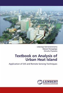
This book describes the use of remote sensing for monitoring surface urban heat island. Pune city, located in western India is taken as a case study to demonstrate how satellite data can be utilized effectively to study urban heat island and spatio-temporal variations in it. The book explains in detail the procedures to derive land surface temperature from raw satellite data. Corrections such as atmospheric, radiometric and geometric are dealt with which have to be normally applied to satellite images before using them for any analysis. Number of methods which help in studying the intensity of surface urban heat island are described in the book. The book is based on utilization of Landsat TM, ETM and ETM+ for retrieving temperatures as well as land use land cover of the area. The book aims to provide basic technical and scientific information to study surface urban heat island and associated environmental changes. The book will help reader to better understand the use of remote sensing technique for urban areas.
Bitte wählen Sie Ihr Anliegen aus.
Rechnungen
Retourenschein anfordern
Bestellstatus
Storno

