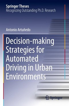
This book describes an effective decision-making and planning architecture for enhancing the navigation capabilities of automated vehicles in the presence of non-detailed, open-source maps. The system involves dynamically obtaining road corridors from map information and utilizing a camera-based lane detection system to update and enhance the navigable space in order to address the issues of intrinsic uncertainty and low-fidelity. An efficient and human-like local planner then determines, within a probabilistic framework, a safe motion trajectory, ensuring the continuity of the path curvature and limiting longitudinal and lateral accelerations. LiDAR-based perception is then used to identify the driving scenario, and subsequently re-plan the trajectory, leading in some cases to adjustment of the high-level route to reach the given destination. The method has been validated through extensive theoretical and experimental analyses, which are reported here in detail.
Bitte wählen Sie Ihr Anliegen aus.
Rechnungen
Retourenschein anfordern
Bestellstatus
Storno

