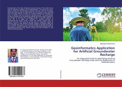
Groundwater is the most important natural resource of the earth and is used for drinking, irrigation, and industrialization. The central and north-eastern regions are surrounded by medium and poor zone for recharges. Hence the study consist of major good zone for ground water potential zone and large chances are there to located recharges of increasing the water in aquifers and use during the drought period. The groundwater storage is thought to be increased by utilizing this excess water obtained in wet periods to recharge the underlying aquifer. A sensible method to attain this is to apply the methods of artificial recharge of groundwater.The project study is aimed top identify suitable area for artificial recharge .The study has proved that an integrated analysis of different types of data derived through different techniques yields for more valuable final output .The study has enabled to identify very high to poor zones for artificial recharge. Te present study demonstrated that the methodology adopted using remote sensing and GIS techniques is cost effective and time saving.
Bitte wählen Sie Ihr Anliegen aus.
Rechnungen
Retourenschein anfordern
Bestellstatus
Storno

