![Analysis of mining activity in Rajsamand using GIS and Remote Sensing Analysis of mining activity in Rajsamand using GIS and Remote Sensing](https://bilder.buecher.de/produkte/36/36991/36991916n.jpg)
Broschiertes Buch
31. Dezember 2012
LAP Lambert Academic Publishing

![Streamlining Estate Related Activities Of ONGC,Ahmedabad Asset Streamlining Estate Related Activities Of ONGC,Ahmedabad Asset](https://bilder.buecher.de/produkte/36/36912/36912112n.jpg)
Broschiertes Buch
16. Dezember 2012
LAP Lambert Academic Publishing
Ähnliche Artikel
![Irrigation Potential Analysis Using GIS and Remote Sensing Irrigation Potential Analysis Using GIS and Remote Sensing](https://bilder.buecher.de/produkte/40/40182/40182085n.jpg)
Broschiertes Buch
Irrigation potential suitability analysis & water management
27. Dezember 2013
LAP Lambert Academic Publishing
![Mapping Urban Sprawl using GIS, Remote Sensing and Spatial Metrics Mapping Urban Sprawl using GIS, Remote Sensing and Spatial Metrics](https://bilder.buecher.de/produkte/46/46600/46600122n.jpg)
Broschiertes Buch
A comparative study of two European cities over time from Landsat 5 Thematic Mapper imagery
14. Oktober 2016
LAP Lambert Academic Publishing
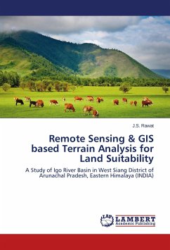
![Remote Sensing & GIS based Terrain Analysis for Land Suitability Remote Sensing & GIS based Terrain Analysis for Land Suitability](https://bilder.buecher.de/produkte/35/35517/35517579n.jpg)
Broschiertes Buch
A Study of Igo River Basin in West Siang District of Arunachal Pradesh, Eastern Himalaya (INDIA)
Aufl.
18. Juni 2015
LAP Lambert Academic Publishing
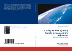
![A study on Pune by using Remote Sensing and GIS techniques A study on Pune by using Remote Sensing and GIS techniques](https://bilder.buecher.de/produkte/32/32518/32518067n.jpg)
Broschiertes Buch
Application of Geoinformatics
22. November 2010
LAP Lambert Academic Publishing
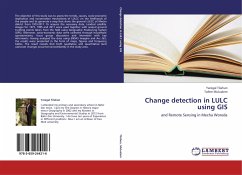
![Change detection in LULC using GIS Change detection in LULC using GIS](https://bilder.buecher.de/produkte/36/36533/36533964n.jpg)
Broschiertes Buch
and Remote Sensing in Mecha Woreda
16. September 2012
LAP Lambert Academic Publishing
![GIS and Remote Sensing Based Rural Road Network Analysis GIS and Remote Sensing Based Rural Road Network Analysis](https://bilder.buecher.de/produkte/36/36994/36994781n.jpg)
Broschiertes Buch
19. Juni 2015
LAP Lambert Academic Publishing
![The influence of medieval building activity on relief development within the Spessart uplands, Germany The influence of medieval building activity on relief development within the Spessart uplands, Germany](https://bilder.buecher.de/produkte/66/66496/66496566m.jpg)
Broschiertes Buch
A sedimentological, geophysical and GIS-based approach at different castle and mining sites
21. November 2022
Würzburg University Press
![Earthquakes and Volcanic Activity on Islands Earthquakes and Volcanic Activity on Islands](https://bilder.buecher.de/produkte/62/62634/62634483m.jpg)
Gebundenes Buch
History and Contemporary Perspectives from the Azores
30. November 2021
Routledge
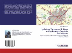
![Updating Topographic Map using Remote Sensing Techniques Updating Topographic Map using Remote Sensing Techniques](https://bilder.buecher.de/produkte/36/36798/36798541n.jpg)
Broschiertes Buch
Comparison of Pixel Based Interpretation and Object Oriented Analysis
11. November 2012
LAP Lambert Academic Publishing
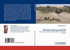
![Remote Sensing and GIS Remote Sensing and GIS](https://bilder.buecher.de/produkte/32/32391/32391330n.jpg)
Broschiertes Buch
Techniques and Applications for Urban Environmental Studies
9. November 2010
LAP Lambert Academic Publishing
Ähnlichkeitssuche: Fact®Finder von OMIKRON