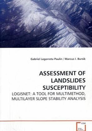
ASSESSMENT OF LANDSLIDES SUSCEPTIBILITY
LOGISNET: A TOOL FOR MULTIMETHOD, MULTILAYER SLOPE STABILITY ANALYSIS
Versandkostenfrei!
Versandfertig in 6-10 Tagen
52,99 €
inkl. MwSt.

PAYBACK Punkte
26 °P sammeln!
Shallow landslides or slope failures have been studied from several points of view. In particular, numerous methods embedded in Geographic Information Systems (GIS) applications have been developed to assess slope stability. However, little work has been done on the systematic comparison of different techniques to outline advantages and limitations, due to the difficulties of assessing a model in both natural and theoretical conditions. The lack of study of the systematic comparison of landslide models at different cartographic scales, DEM resolutions, and sampling strategies not only compromi...
Shallow landslides or slope failures have been
studied from several points of view. In particular,
numerous methods embedded in Geographic Information
Systems (GIS) applications have been developed to
assess slope stability. However, little work has
been done on the systematic comparison of different
techniques to outline advantages and limitations,
due to the difficulties of assessing a model in both
natural and theoretical conditions. The lack of
study of the systematic comparison of landslide
models at different cartographic scales, DEM
resolutions, and sampling strategies not only
compromises the reliability of the models, but also
leads to the misuse of the models. In this research,
assessment of landslide susceptibility models is
modeled by using LOGISNET, an acronym for Logistic
Regression, Geographic Information System, and
Neural Network. LOGISNET is a project of which the
main purpose is to provide government planners and
decision makers with a tool and guidance to assess
landslide susceptibility models. The system is fully
operational for models employing a
cartographic/hydrologic approach and multiple
logistic regression.


