32,99 €
inkl. MwSt.
Versandkostenfrei*
Versandfertig in 6-10 Tagen
  • Broschiertes Buch

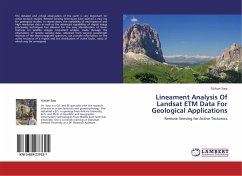
The detailed and critical observation of the earth is very important for active tectonic studies. Remote Sensing techniques have opened a new era for geological studies. In recent years, the availability of multi-spectral and high resolution data as well as the advanced capabilities of digital image processing techniques has allowed for the easy identification of linear features on satellite images. Lineament analysis, made through the observation of remote sensing data, obtained from varying wavelength intervals of the electromagnetic spectrum, can provide information on the active tectonics…mehr

Produktbeschreibung
The detailed and critical observation of the earth is very important for active tectonic studies. Remote Sensing techniques have opened a new era for geological studies. In recent years, the availability of multi-spectral and high resolution data as well as the advanced capabilities of digital image processing techniques has allowed for the easy identification of linear features on satellite images. Lineament analysis, made through the observation of remote sensing data, obtained from varying wavelength intervals of the electromagnetic spectrum, can provide information on the active tectonics of a region and the distribution of active faults, many of which may be unmapped.
Autorenporträt
Dr. Sarp is a GIS and RS specialist with the research interests in active tectonics and geomorphology. She obtained a B.S. in geology from Ankara University, M.S. and Ph.D. in Geodetic and Geographic Information Technologies from Middle East Technical University. She is currently working at Süleyman Demirel University as a Dr. Research Assistant.