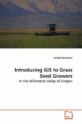
Introducing GIS to Grass Seed Growers
In the Willamette Valley of Oregon
Versandkostenfrei!
Versandfertig in 6-10 Tagen
39,99 €
inkl. MwSt.

PAYBACK Punkte
20 °P sammeln!
The center of the grass seed industry of Oregon is located in the Willamette Valley. Innovative grass seed growers of the area are beginning to implement precision agriculture GIS and GPS technologies on their farms. To help growers learn how to work with their spatial field data, a set of GIS lessons were created using ESRI''s ArcGIS 9.0. The lessons teach growers how to use GIS for managing, analyzing, and interpreting their site-specific data. The lessons were introduced to interested grass seed growers through a series of three workshop meetings. From the evaluations, growers indicated the...
The center of the grass seed industry of Oregon is
located in the Willamette Valley. Innovative grass
seed growers of the area are beginning to implement
precision agriculture GIS and GPS technologies on
their farms. To help growers learn how to work with
their spatial field data, a set of GIS lessons were
created using ESRI''s ArcGIS 9.0. The lessons teach
growers how to use GIS for managing, analyzing, and
interpreting their site-specific data. The lessons
were introduced to interested grass seed growers
through a series of three workshop meetings. From
the evaluations, growers indicated they were
interested in using GIS for investigating
correlations between yield and soil nutrients and
for creating prescription application maps.
Therefore methods for investigating correlations and
creating prescription maps were devised using both
Microsoft Excel and ArcGIS 9.0. Finally, a specific
task-based comparison of four different precision
agriculture GIS software packages to ArcGIS 9.0 was
completed to provide interested growers with
information needed when evaluating software options
available to them.


