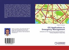
The healthcare institutions faced difficulties to provide services in time of crisis. Due to the lack of the required health service many of the problems have been raised such as coverage, timeliness, services, and workforce. The aim of this work is to investigate and identify the spatial distribution of affected areas, hospitals' service areas, hospitals capacity, and accessibility to tertiary hospitals in Gaza Strip in times of conflict using Geographic Information System techniques, which can help in strategic planning for future emergencies. This work utilizes a combination of Palestinian census data, damages data, hospitals data, satellite image, and Geographic Information Systems software to construct a foundation. The research draws on a number of sources from literature. The methods used in this study follow and build upon the methods used in previous Geographic Information Systems analyses involving assessment of the density, distribution, service areas, capacity, and accessibility. The findings of the study demonstrated clearly the vulnerabilities of the affected areas, the hospitals' service area, the hospital capacity, and the accessibility to tertiary hospitals.
Bitte wählen Sie Ihr Anliegen aus.
Rechnungen
Retourenschein anfordern
Bestellstatus
Storno

