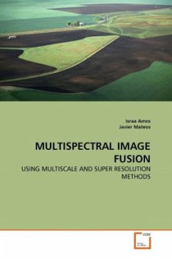
Nowadays most remote sensing systems include sensors able to capture, simultaneously, a multispectral image, along with a high resolution panchromatic image. Pansharpening, is a pixel level fusion technique used to increase the spatial resolution of the multispectral image while simultaneously preserving its spectral information. The benefit of merged images has been demonstrated in many practical applications, especially for vegetation, land use, precision farming, urban studies, feature detection, change monitoring and land cover classification. In this book we provide a review of the pansharpening methods proposed in the literature giving a clear classification of them and a description of their main characteristics. Moreover, new fusion methods based on contourlet, super-resolution and Bayesian paradigm have been proposed. MULTISPECTRAL IMAGE FUSION USING MULTISCALE AND SUPER-RESOLUTION METHODS is an invaluable reference for researchers in the field of remote sensing image processing and pansharpening to understand and employ the power of current fusion techniques in their work.
Bitte wählen Sie Ihr Anliegen aus.
Rechnungen
Retourenschein anfordern
Bestellstatus
Storno

