42,99 €
inkl. MwSt.
Versandkostenfrei*
Versandfertig in über 4 Wochen
  • Broschiertes Buch

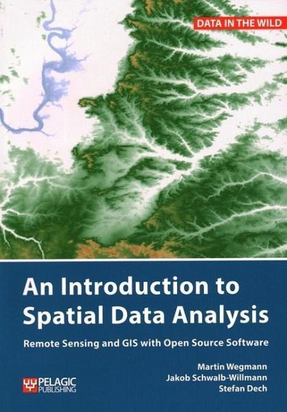
Readers will learn the essentials of spatial data handling using the open source software QGIS and be guided through the first steps in using the R programming language. The book includes the fundamentals of spatial data handling and analysis, working with real data from field to analysis.

Produktbeschreibung
Readers will learn the essentials of spatial data handling using the open source software QGIS and be guided through the first steps in using the R programming language. The book includes the fundamentals of spatial data handling and analysis, working with real data from field to analysis.
Autorenporträt
Martin Wegmannhas a PhD in remote sensing focusing on time-series analysis on land cover change and fragmentation in Africa. He is an assistant professor at the Global Change Ecology Msc program at the University of Würzburg, Germany and runs courses in remote sensing analysis for biodiversity and conservation.