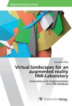
Virtual landscapes for an augmented reality HMI-Laboratory
Generation and Implementation of a CDB Database
Versandkostenfrei!
Versandfertig in 6-10 Tagen
36,99 €
inkl. MwSt.

PAYBACK Punkte
18 °P sammeln!
The computation power nowadays can contribute to a certain security in civilian and military life. Helicopters are an object of interest for the simulator at Airbus Defence and Space in Friedrichshafen, Germany. They are complex to handle, to pilot, and to operate in any situation, especially in critical civilian and military operations. Human and computer are interacting in a virtual environment including terrain, terrain features, models of vehicles, buildings as well as topographic features. The synthetic environement can be generated by a Common Database (CDB). It is an open standard datab...
The computation power nowadays can contribute to a certain security in civilian and military life. Helicopters are an object of interest for the simulator at Airbus Defence and Space in Friedrichshafen, Germany. They are complex to handle, to pilot, and to operate in any situation, especially in critical civilian and military operations. Human and computer are interacting in a virtual environment including terrain, terrain features, models of vehicles, buildings as well as topographic features. The synthetic environement can be generated by a Common Database (CDB). It is an open standard database format for storing rasters, vectors, models in 2D/3D, as well as metadata for the whole earth, in only one single database. Different simulator client- devices are able to retrieve simultaneously relevant information from this database in real-time. A CDB can run regardless of computer platforms, simulator system software and simulator client-devices. This book describes the generation of a CDB Database with the help of the software package "Terra Vista" by the Canadian company Presagis. As well the software packages "Creator", "Vega Prime" and "Global Mapper" are briefly sketched.


