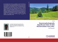
This monograph deals with the rock landforms of the Novohradské hory Mts. with special view on the geomorphological inventory as an instrument for the declaration of geomorphologically significant sites and view on the spatial distribution of rock landforms. First of all, the physical-geographical characterisation of the Novohradské hory Mts. was incorporated into the monograph to provide a better image of the area of interest. The detailed geomorphological maps of the most interesting areas were created by using GPS mapping and further digitalized by ARC VIEW 9.1. The GPS mapping and the geomorphological inventory of rock landforms were applied at these sites: Mt. Vysoká, Kraví hora Mt., Kuní hora Mt., Mt. Kamenec, Mt. Myslivna. The final part of this monograph is focused on the problematic of geoheritage and geomorphosites and on the protection of the significant geomorphological sites and so the monograph discusses the spatial distribution of rock landforms in relation to geology, altitude, slope inclination and orientation. The monograph can serve as a practical example of processing options for the nature protection of geomorphologically significant sites.
Bitte wählen Sie Ihr Anliegen aus.
Rechnungen
Retourenschein anfordern
Bestellstatus
Storno

