32,99 €
inkl. MwSt.
Versandkostenfrei*
Versandfertig in 6-10 Tagen
  • Broschiertes Buch

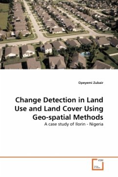
This work examines the use of GIS and Remote Sensing in mapping Land Use and Land Cover in Ilorin between 1972 and 2001. The aim of this is to detect the changes that has taken place in the Land Use Land Cover of the area between these periods. Subsequently, an attempt was made at projecting the observed land use and land cover of Ilorin for 14 years using the Cellular Automata_Markov and Markov Chain Analysis. In achieving this, Land Consumption Rate and Land Absorption Coefficient were introduced to aid in the quantitative assessment of the change. The result of the work shows a rapid growth…mehr

Produktbeschreibung
This work examines the use of GIS and Remote Sensing in mapping Land Use and Land Cover in Ilorin between 1972 and 2001. The aim of this is to detect the changes that has taken place in the Land Use Land Cover of the area between these periods. Subsequently, an attempt was made at projecting the observed land use and land cover of Ilorin for 14 years using the Cellular Automata_Markov and Markov Chain Analysis. In achieving this, Land Consumption Rate and Land Absorption Coefficient were introduced to aid in the quantitative assessment of the change. The result of the work shows a rapid growth in built-up land between 1972 and 1986 while the periods between 1986 and 2001 witnessed a reduction in this class. It was also observed that change by 2015 is likely to follow the trend in 1986/2001.
Autorenporträt
Opeyemi Ayodeji Zubair is currently a research scientist in the Strategic Space Applications Department of National Space Research and Development Agency, Abuja Nigeria. He received his BSC degree in Geography from University of Ilorin, Ilorin Nigeria and his MSc degree in Geographic Information System from University of Ibadan, Ibadan, Nigeria.