191,99 €
inkl. MwSt.
Versandkostenfrei*
Versandfertig in über 4 Wochen
payback
96 °P sammeln
  • Gebundenes Buch

Conventional topographic databases, obtained by capture on aerial or spatial images provide a simplified 3D modeling of our urban environment, answering the needs of numerous applications (development, risk prevention, mobility management, etc.). However, when we have to represent and analyze more complex sites (monuments, civil engineering works, archeological sites, etc.), these models no longer suffice and other acquisition and processing means have to be implemented. This book focuses on the study of adapted lifting means for "notable buildings". The methods tackled in this book cover…mehr

Produktbeschreibung
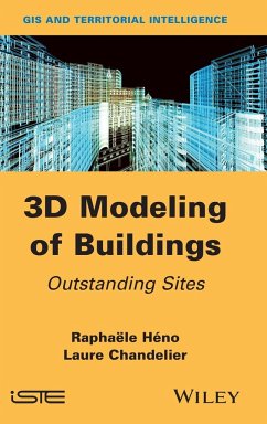
Conventional topographic databases, obtained by capture on aerial or spatial images provide a simplified 3D modeling of our urban environment, answering the needs of numerous applications (development, risk prevention, mobility management, etc.). However, when we have to represent and analyze more complex sites (monuments, civil engineering works, archeological sites, etc.), these models no longer suffice and other acquisition and processing means have to be implemented. This book focuses on the study of adapted lifting means for "notable buildings". The methods tackled in this book cover lasergrammetry and the current techniques of dense correlation based on images using conventional photogrammetry.

Hinweis: Dieser Artikel kann nur an eine deutsche Lieferadresse ausgeliefert werden.
Autorenporträt
Raphaële Héno is head of a teaching department at ENSG in France. His work involves architectural surveying using photogrammetry and lasergrammetry. Laure Chandelier is in charge of projects in satellite imaging and geographical information systems at Cerema in France. She works on the extraction of information from remote data.