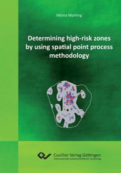
Methods for constructing high-risk zones, which can be used in situations where a spatial point pattern has been observed incompletely, are introduced and evaluated with regard to unexploded bombs in federal properties in Germany. Unexploded bombs from the Second World War represent a serious problem in Germany. It is desirable to search high-risk zones for unexploded bombs, but this causes high costs, so the search is usually restricted to carefully selected areas. If suitable aerial pictures of the area in question exist, statistical methods can be used to determine such zones by considering patterns of exploded bombs as realisations of spatial point processes. The patterns analysed in this thesis were provided by Oberfinanzdirektion Niedersachsen, which supports the removal of unexploded ordnance in federal properties in Germany. They were derived from aerial pictures taken by the Allies during and after World War II. The main task consists of finding as small regions as possible containing as many unexploded bombs as possible.
Hinweis: Dieser Artikel kann nur an eine deutsche Lieferadresse ausgeliefert werden.
Hinweis: Dieser Artikel kann nur an eine deutsche Lieferadresse ausgeliefert werden.

