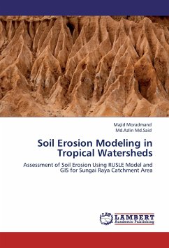
Soil erosion is one of the severe problems in most countries especially in tropical area. Rapid development and urbanization cause massive land use changes, which leads to an increase in soil erosion rate, particularly from highlands, which results in sediment deposition in lower region. Sungai Raya is a sub-district of Kinta in Perak State, Malaysia. Several changes had occurred in Sungai Raya catchment due to the tourism development,urbanization and industrialization. Current research present soil erosion investigation that has been conducted for Sungai Raya catchment based on Revised Universal Soil Loss Equation (RUSLE) model. The RUSLE model was combined with both Remote Sensing (RS) and Geographic Information System (GIS) techniques to analyze quantity of soil loss in the study area.Modeling factors such as rainfall erosivity, soil erodibility, topographic factor, cover management factor and protection practices, reveal that soil erosion occurs mostly in cropland and mining areas. The estimated erosion rate is more than 2500 ton/ha/yr. Indeed, erosion value is classified in critical level according to the soil erosion risk classification for Malaysia.
Hinweis: Dieser Artikel kann nur an eine deutsche Lieferadresse ausgeliefert werden.
Hinweis: Dieser Artikel kann nur an eine deutsche Lieferadresse ausgeliefert werden.

